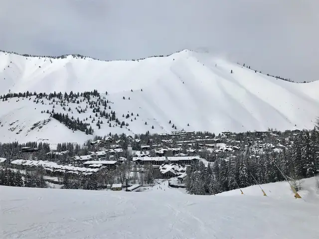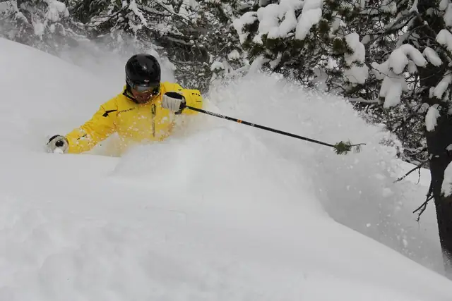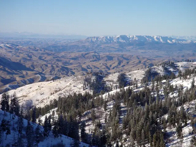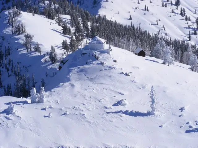
- Schweitzer (Sandpoint)
- Silver Mountain (Kellogg)
- Lookout Pass (Mullan)
- Bald Mountain Ski Area (Pierce)
- Cottonwood Butte Ski Area (Cottonwood)
- Snowhaven Ski & Tubing Area (Grangeville)
- Lost Trail (Salmon)
- Brundage (McCall)
- The Little Ski Hill (McCall)
- Tamarack (Donnelly)
- Bogus Basin (Boise)
- Grand Targhee (Driggs)
- Sun Valley (Sun Valley / Ketchum)
- Kelly Canyon (Ririe / Idaho Falls)
- Soldier Mountain (Fairfield)
- Pebble Creek Ski Area (Inkom)
- Pomerelle Mountain Resort (Albion)
- Magic Mountain Ski Resort (Hansen)
Where Idaho's Ski Resorts Are
Idaho's 19 ski areas are spread along the full length of the state, from Schweitzer, roughly 60 miles south of the Canadian border, to Pomerelle and Pebble Creek near the Utah line. They are not evenly distributed. Nearly all of them sit along four travel corridors: Interstate 90 across the Panhandle, U.S. 95 through north-central Idaho, State Highway 55 between Boise and McCall, and the Interstate 84, 86 and 15 arc across the Snake River Plain in the south and east.
The empty middle of the map matters as much as the dots. Central Idaho is dominated by wilderness and national forest with few through roads, so there is no direct route between the northern ski areas and the southern ones. U.S. 95 is the only highway that connects the Panhandle to Boise within the state, and it is a two-lane mountain road for much of its length. That is why this guide is organized north to south by region, and why most trips stay inside one region.
The table below gives each ski area's nearest town, its highway access and the closest airport with scheduled commercial flights. The sections after it describe each cluster in the order you would meet it driving south.
Locator Table: Town, Highway and Airport
| Ski area | Region | Nearest town | Highway access | Nearest commercial airport |
|---|---|---|---|---|
| Schweitzer | North | Sandpoint | U.S. 95 and U.S. 2 to Sandpoint | Spokane, Washington |
| Silver Mountain | North | Kellogg | Interstate 90 | Spokane, Washington |
| Lookout Pass | North | Mullan | Interstate 90 at the Montana line | Spokane, Washington |
| Bald Mountain | North-central | Pierce | State Highway 11 | Lewiston |
| Cottonwood Butte | North-central | Cottonwood | U.S. 95 | Lewiston |
| Snowhaven | North-central | Grangeville | U.S. 95 and State Highway 13 | Lewiston |
| Lost Trail | Montana line | North Fork, Idaho; Sula, Montana | U.S. 93 at Lost Trail Pass | Missoula, Montana |
| Brundage Mountain | McCall | McCall | State Highway 55 | Boise |
| Little Ski Hill | McCall | McCall | State Highway 55 | Boise |
| Tamarack | McCall | Donnelly | State Highway 55 | Boise |
| Bogus Basin | Southwest | Boise | Bogus Basin Road from Boise | Boise |
| Soldier Mountain | Sun Valley area | Fairfield | U.S. 20 | Boise or Sun Valley (Hailey) |
| Sun Valley | Sun Valley area | Ketchum | State Highway 75 | Sun Valley (Hailey) |
| Rotarun | Sun Valley area | Hailey | State Highway 75 | Sun Valley (Hailey) |
| Magic Mountain | South-central | Hansen | Interstate 84 and U.S. 30, then Rock Creek Road | Twin Falls |
| Pomerelle | South-central | Albion | Interstate 84 and State Highway 77 | Twin Falls |
| Pebble Creek | East | Inkom | Interstate 15 | Pocatello |
| Kelly Canyon | East | Ririe | U.S. 26 | Idaho Falls |
| Grand Targhee (Wyoming) | East | Driggs | State Highway 33, then Ski Hill Road | Idaho Falls; Jackson, Wyoming |
Airports listed are the closest with airline service, not always the most practical. Boise, Spokane and Salt Lake City have far more flights than the regional fields, and many visitors accept a longer drive in exchange for a direct flight.
North Idaho: Sandpoint and the Interstate 90 Corridor
The Panhandle has three ski areas, and all three are reached through Spokane, Washington, not through any Idaho airport.
Schweitzer is the northernmost ski area in the state. It sits in the Selkirk Mountains 11 miles above Sandpoint, which is on U.S. 95 and U.S. 2 at the north end of Lake Pend Oreille. The last stretch is a steep, switchbacked access road to a village at about 4,700 feet.
Silver Mountain and Lookout Pass are both on Interstate 90 in the Silver Valley, east of Coeur d'Alene. Silver Mountain's gondola leaves from the town of Kellogg, a short distance off the freeway, and climbs 3.1 miles to the ski terrain. Lookout Pass is roughly 25 miles farther east at the last Idaho exit, where the interstate crosses into Montana; Mullan and Wallace are the nearest towns. Because both are on the interstate, these two are the easiest pair of Idaho ski areas to combine, and Lookout Pass is nearly as convenient from Missoula as from Spokane.
Who this region does not suit: travelers flying into Boise. The drive north from Boise to Sandpoint takes most of a day.
North-Central Idaho and the Montana Line
South of the Panhandle, U.S. 95 crosses the Camas Prairie, and three small hills serve the farm and timber towns there. Bald Mountain is about 10 miles northwest of Pierce on State Highway 11, in the Clearwater Mountains east of Orofino. Cottonwood Butte is about six miles west of the town of Cottonwood, which is on U.S. 95. Snowhaven is in the hills south of Grangeville. Lewiston has the nearest airline service for all three.
These are community hills with surface lifts and weekend schedules, and they rely on natural snow. Bald Mountain and Cottonwood Butte did not operate in the dry winter of 2025-26, and Snowhaven opened only briefly, so check each hill's own announcements before driving.
Lost Trail is the outlier on any Idaho ski map. It sits at Lost Trail Pass on U.S. 93, exactly on the Idaho-Montana line, north of Salmon and the small community of North Fork. Its base area is on the Montana side and its nearest airport is Missoula. From most of Idaho it is a very long drive; from Salmon and the Lemhi Valley it is the home mountain.
West-Central and Southwest Idaho: McCall and Boise
State Highway 55 runs north from the Boise area up the Payette River canyon to Long Valley and McCall, and three ski areas lie along it. Tamarack comes first: it is on the west shore of Lake Cascade, southwest of Donnelly and about 90 miles north of Boise. Little Ski Hill is just outside McCall on the highway. Brundage Mountain is a short drive beyond McCall on a paved forest road. Tamarack and Brundage Mountain are close enough to ski both from one base in McCall or Donnelly.
Bogus Basin stands alone in southwest Idaho. It is 16 road miles north of downtown Boise by Bogus Basin Road, a winding climb to Shafer Butte in the Boise National Forest, and it is the only ski area within a short drive of the Boise airport.
Highway 55 is the weak point of this region. It is a two-lane canyon road that slows badly in snow and on Sunday afternoons, when weekend traffic returns to Boise. Allow extra time, and do not plan a tight connection to a flight.
Sun Valley and South-Central Idaho
Sun Valley is in the Wood River Valley on State Highway 75, which runs north from U.S. 20 through Bellevue and Hailey to Ketchum. Bald Mountain rises directly above Ketchum; Dollar Mountain is beside Sun Valley village, a short drive away. Friedman Memorial Airport in Hailey, about 15 miles south, gives Sun Valley one of the shortest airport transfers in Idaho skiing. Rotarun, a small community hill, is about three miles from downtown Hailey.
Soldier Mountain is west of the Wood River Valley, about 12 miles north of Fairfield, which is on U.S. 20 on the Camas Prairie between Mountain Home and Hailey. It sits roughly between Boise and Sun Valley and can be reached from either.
Farther south, two ski areas serve the Magic Valley around Twin Falls and Burley. Magic Mountain is in the South Hills, reached by Rock Creek Road south from Hansen, about 28 miles from Kimberly. Pomerelle is in the Albion Mountains above the town of Albion, on State Highway 77 south of Interstate 84, with a base elevation of about 8,000 feet. Magic Mountain did not open at all in 2025-26 for lack of snow, so confirm its status before planning a visit.
Eastern Idaho
Eastern Idaho's three ski areas line up along the Interstate 15 corridor and the Teton range. Pebble Creek is at Inkom, just off Interstate 15 southeast of Pocatello, on the slopes of Bonneville Peak. Kelly Canyon is near Ririe, northeast of Idaho Falls off U.S. 26. Grand Targhee is the farthest east: from Driggs, on State Highway 33 in Teton Valley, Ski Hill Road climbs across the state line to the resort in Alta, Wyoming. There is no road to Grand Targhee from the Wyoming side.
Idaho Falls is the usual airport for Kelly Canyon and Grand Targhee, and Pocatello for Pebble Creek. Jackson, Wyoming, is an alternative for Grand Targhee, but the route crosses Teton Pass, which can close in storms. Salt Lake City is a common choice for all three, a drive of several hours north on Interstate 15.
Using the Map to Plan
A few rules follow from the geography.
- Choose the airport first. Spokane serves the north, Boise serves McCall and Bogus Basin, Hailey serves Sun Valley, and Idaho Falls serves the east. Flying into the wrong one can add a full day of driving.
- Group ski areas by corridor. Workable pairs include Silver Mountain with Lookout Pass, Brundage Mountain with Tamarack, and Kelly Canyon with Grand Targhee. Schweitzer with Sun Valley is not a workable pair.
- Respect mountain roads. Most ski areas sit at the end of a steep access road above their nearest town. Carry traction tires or chains, and check road conditions with the Idaho 511 traveler information service before leaving.
- Verify small hills. The community ski areas open only when snow allows and often only on weekends. Ski Idaho's resort directory links to each area's own site.
Nearest does not always mean best. A skier in Lewiston is closer to three small hills than to any large mountain, and a skier in Boise is roughly two to two and a half hours from two destination resorts. The map tells you what is reachable; the size and character of each mountain decide whether it is worth the drive.
Frequently asked questions
Where are the ski resorts in Idaho?
They cluster in six areas: the Panhandle near Sandpoint and along Interstate 90, the Camas Prairie in north-central Idaho, the McCall area on Highway 55, Boise, the Sun Valley area, and the south and east along Interstates 84 and 15. Central Idaho between them is wilderness with no ski areas.
Which Idaho ski resorts are in northern Idaho?
Schweitzer near Sandpoint, Silver Mountain in Kellogg and Lookout Pass at the Montana line are the three Panhandle ski areas. Farther south in north-central Idaho are the small hills of Bald Mountain, Cottonwood Butte and Snowhaven.
What airport do you fly into to ski in Idaho?
It depends on the resort. Spokane, Washington, serves Schweitzer, Silver Mountain and Lookout Pass; Boise serves Bogus Basin, Tamarack and Brundage Mountain; Friedman Memorial Airport in Hailey serves Sun Valley; Idaho Falls serves Kelly Canyon and Grand Targhee.
Which ski resorts are closest to Boise?
Bogus Basin is 16 road miles from Boise. Tamarack is about 90 miles north on Highway 55, with Brundage Mountain beyond McCall, and Soldier Mountain is to the east near Fairfield.
Is Grand Targhee in Idaho or Wyoming?
Grand Targhee is in Alta, Wyoming, but its only road access is through Driggs, Idaho. Ski Idaho counts it among the state's 19 ski areas for that reason.
How far apart are Schweitzer and Sun Valley?
They are at opposite ends of the state's ski map, a long day's drive apart with no direct highway between them. Plan them as separate trips.